


My Sand Collection
Lubo CMOREJ
Lubo CMOREJ
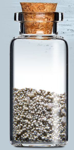
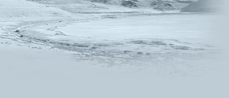
Antelope Island, Utah USA
To see more pictures from location visit my travel website tip66.com
Antelope Island, with an area of 42 square miles (109 km2), is the largest island of 10 islands located within the Great Salt Lake, Utah, United States. The island lies in the southeastern portion of the lake, near Salt Lake City and Davis County, and becomes a peninsula when the lake is at extremely low levels.
The geology of Antelope Island consists mostly of alluvial plains with prairie grassland on the north, east and south of the island, along with a mountainous central area of older Precambrian metamorphic and igneous rocks and late Precambrian to Paleozoic sedimentary rocks, covered by a thin layer of Quaternary lake deposits, colluvium and alluvium. The Precambrian deposits on Antelope Island are some of the oldest rocks in the United States, older even than the Precambrian rocks at the bottom of the Grand Canyon.
text source: wikipedia


move your mouse over
the bottle for a closer view
the bottle for a closer view


© 2013 Lubo CMOREJ


click the dot
to see location on Google maps
to see location on Google maps
